3DMakerpro Owl, Raven and Eagle: LiDAR Scanner Specifications and Workflows
The stationary Owl adds 5 mm at 10 m accuracy and 4K HDR panoramas; Raven and Eagle extend 3DMakerpro’s lineup to mobile spatial scanning.
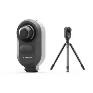
The 3DMakerpro Owl adds stationary scanning to a lineup that also includes the handheld Raven and Eagle. Its stated 5 mm accuracy at 10 m, 360° horizontal coverage and 4K HDR panoramic imaging are aimed at capturing buildings and larger spaces from fixed positions. The practical choice comes down to how a team needs to move through a site: place the Owl at multiple stations, or carry a scanner through the environment.
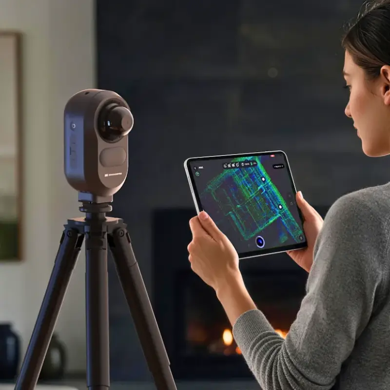
Owl: fixed-position capture for buildings and interiors
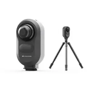
Mounted on a tripod, the Owl collects LiDAR point clouds and panoramic images from each scan position. Its 360° horizontal and 280° vertical field of view captures the surrounding geometry from a single setup. Larger or obstructed spaces can be documented from additional positions. The company also describes AI-powered floor plan extraction as part of the Owl workflow.
The camera system is offered in three-camera and five-camera configurations, each listed as 48 MP × 3 with HDR support. The scanner’s specifications give a point cloud rate of 192,000 points per second and a range of up to 120 meters, specified as a 0.5–60 m radius at 20% reflectivity. The stated accuracy is 5 mm at 10 m.
- Laser: 905 nm, Class 1 (IEC 60825-1:2014)
- Scan coverage: 360° horizontal, 280° vertical
- Point cloud rate: 192,000 points per second
- Imaging: three-camera or five-camera option; 48 MP × 3 with HDR support
- Connectivity: USB-C and WiFi 5
- Control device: iPad with M1 chip or newer
- Battery: 10,000 mAh; approximately 2 hours of operating time, with external power supported while charging
- Computing: 8-core 2.4 GHz processor, 4 GB RAM, 32 GB SSD and TF card expansion
- Power: 65 W USB-C PD
- Output formats: PLY, E57, OBJ and PNG
- Dimensions and weight: 199 × 139 × 100 mm; 1.6 kg
Operation is controlled from a compatible iPad, where users can monitor capture. Combining LiDAR with panoramic imaging helps retain visual detail across bright and shadowed areas, including windows and darker interiors. That pairing is relevant when the deliverable needs both spatial geometry and a visual record of a room, building or construction site.
Processing and example scans
3DMakerpro’s software options divide the work between local processing, structural editing and online presentation. RayStudio is the free tool for point cloud processing, panoramic image generation and exports. The paid RayCraft focuses on building structure extraction and point cloud editing. JimuMeta provides an online viewer for presenting scans and working with floor plans.
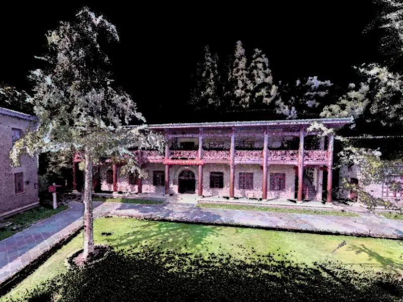
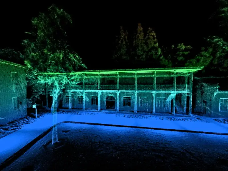
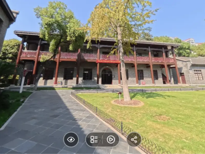
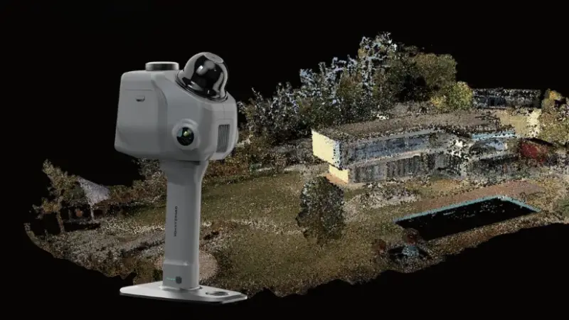
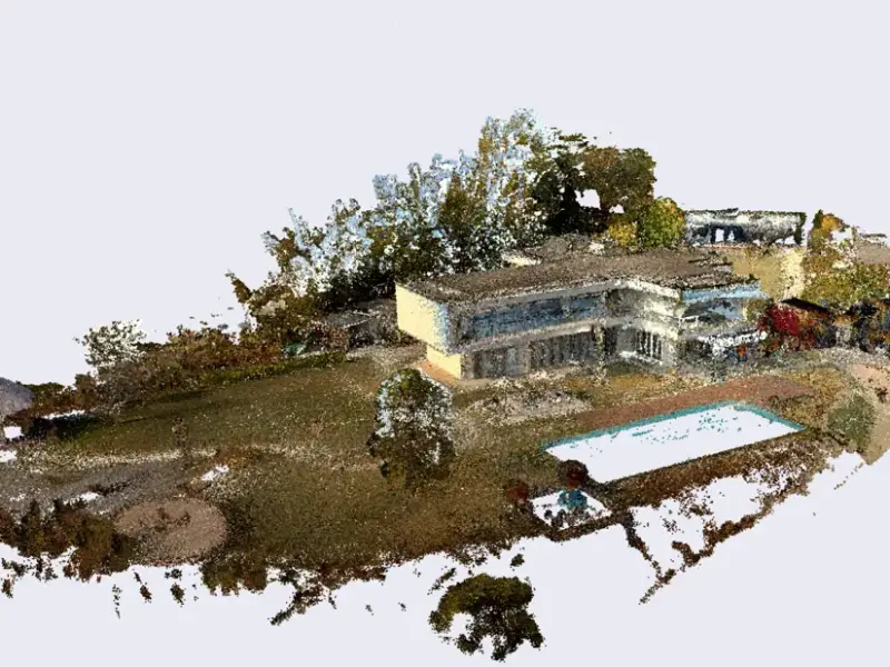
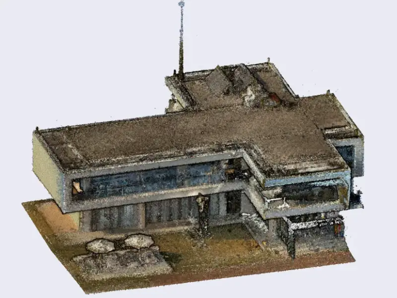
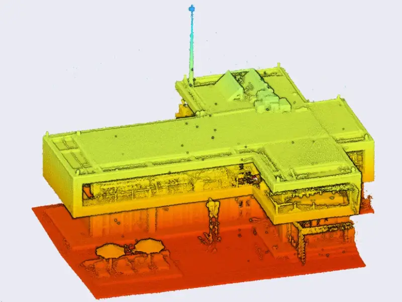
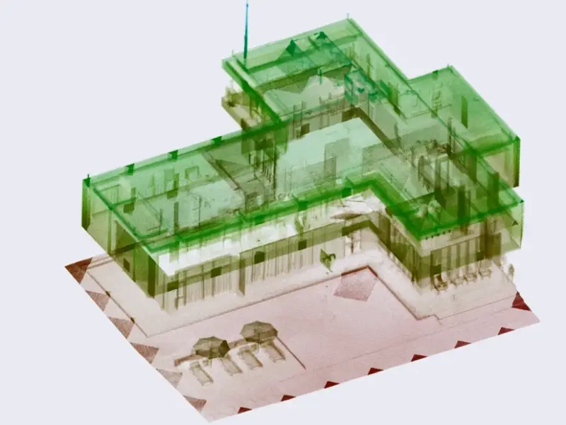
The museum example shows the kind of combined record the system is intended to produce: building geometry, landscape features and visual context in one spatial project. A separate street scan captures narrow roads, facades, overhead cables and nearby structures, demonstrating the value of multiple viewpoints when a scene has occlusions or closely spaced buildings.
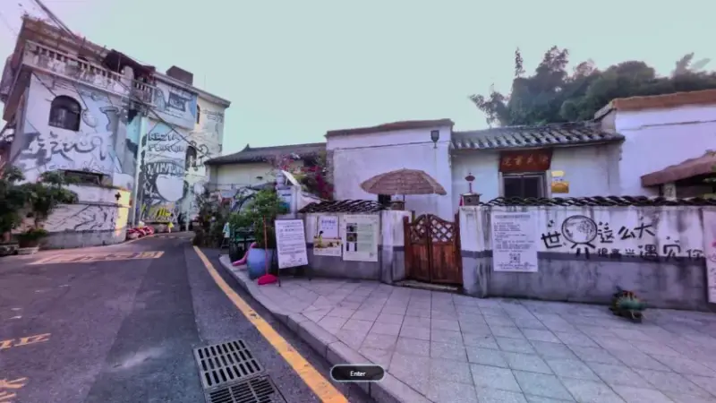
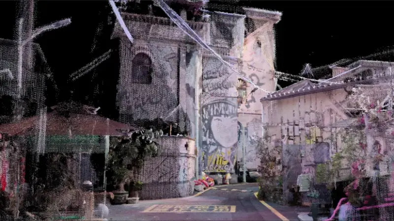
Interactive versions of the examples are available for the museum exterior and the street scan. In practice, the software path matters as much as capture: a point cloud can support measurement and documentation, while a textured or interactive presentation serves a different review and communication need.
Owl configurations
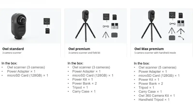
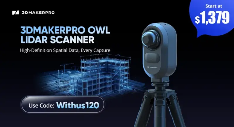
The listed packages vary by camera count and included field equipment. Owl Standard pairs the three-camera scanner with a listed regular price of $2,599. Owl Premium adds a field kit and is listed at $2,799. Owl Max Premium is the five-camera version with handheld mode, listed at $3,999. The page also gives limited early or exclusive prices for 100 units: $1,499 for Standard, $1,699 for Premium and $2,499 for Max Premium, with the code Withus120 described as an additional discount. Package contents may change; the product page is the reference for current bundles and specifications.
For teams documenting a large interior or exterior, the stationary approach can provide broad coverage at each setup point. The trade-off is that coverage depends on scan placement; the operator must reposition the unit to capture areas hidden from the current station. The Max Premium’s handheld mode offers another way to work, though the listed core workflow remains based on fixed-position scanning.
Raven: mobile scanning in a lighter package
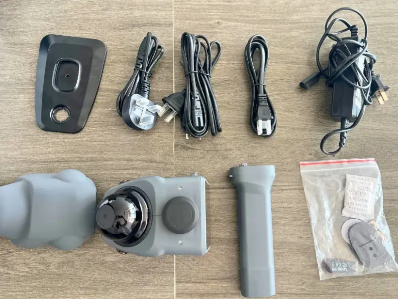
The Raven is designed to move through rooms, buildings and outdoor spaces while collecting LiDAR and color data. At approximately 1.1 kg, it is more portable than the Owl, and its 3.9 inch AMOLED touchscreen lets users monitor the scan on the device. A detachable 12,000 mAh battery grip supplies approximately two hours of operating time.
- Accuracy: up to 2 cm at 10 m
- Range: up to 80–100 meters
- Point cloud rate: up to 150,000 points per second
- Scan angle: 360° horizontal, 40° vertical
- Camera: 12 MP color camera
- Display: 3.9 inch AMOLED touchscreen
- Connectivity: WiFi 5
- Output formats: PLY point cloud, Gaussian splatting PLY and OBJ mesh
- Battery: 12,000 mAh modular grip; approximately 2 hours of operation
- Weight: approximately 1.1 kg
After power-up, Raven performs internal synchronization and IMU initialization. The operating guidance is to move slowly and steadily while directing the scanner toward the areas that need coverage. That makes route planning and consistent movement part of the capture process, particularly in larger spaces where the operator must keep track of both coverage and line of sight.
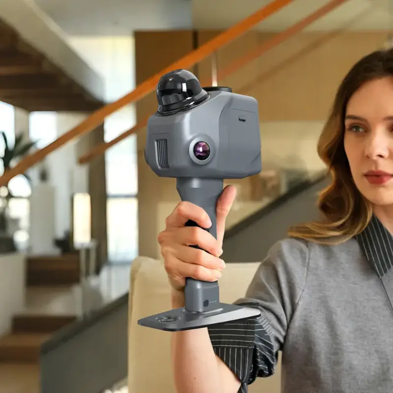
RayStudio processes Raven captures into structured point clouds. Its listed tools include filtering, thinning, colorization and visualization; users can also create Gaussian splatting data or export polygonal meshes. Those outputs support different downstream uses, from spatial documentation to immersive viewing.
3DMakerpro also lists a swappable battery system for Raven and support for compatible 360° cameras, including Insta360 devices, for Gaussian splatting and immersive scene capture. The company presents those features as ways to extend sessions and broaden the visual record. Listed starting prices are $1,274 for Raven, $2,024 for Raven Max and $2,624 for Raven Max RTK; the page gives the code Withus80 for a further discount.
Eagle and the wider scanner range
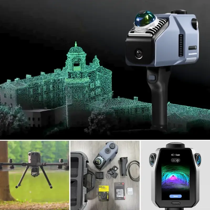
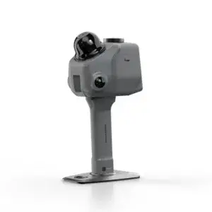
The Eagle series preceded Raven and is positioned for professional spatial capture, including architecture, surveying, digital documentation and large-scale reconstruction. Its described workflows include drone-mounted scanning. The listed starting price for the Eagle scanner is $3,198, with the code Withus80 noted for a further discount.
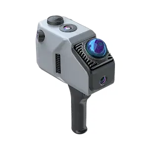
Across the range, the main distinction is the capture method. Owl is intended for tripod-based scans with wide coverage per position; Raven is a handheld option for operators who need to move through a space; Eagle is positioned for more demanding spatial capture, including aerial workflows. The supplied specifications make the Owl’s accuracy and coverage easier to compare with Raven’s mobility, while no equivalent Eagle specification list is given here.
3DMakerpro, a brand of Shenzhen Jimuyida Technology Co., Ltd., was established in 2015 and develops consumer and professional 3D scanners. The company says its research and development team includes more than 100 engineers, and reports more than $30 million invested in research and development, over 60 patents and 30 software copyrights. It also reports CMMI level 3 certification for its software development system and operation under an ISO9001 quality management system.
Its product range also includes scanners for smaller objects and surface detail. The modular Turtle uses interchangeable scanning modules, while the portable Toucan is another option for object scanning. Those devices serve a different scale of work from the Owl, Raven and Eagle’s LiDAR capture of rooms, buildings and outdoor environments.
Choosing a workflow
The Owl’s headline figures—5 mm at 10 m accuracy, up to 120 meters of range, 192,000 points per second and 4K HDR panoramic capture—make it the fixed-position option for broad spatial documentation. Raven sacrifices some stated accuracy and vertical coverage for a handheld workflow, touchscreen monitoring and lower weight. Eagle extends the lineup toward professional and aerial capture. For a project team, the useful next comparison is how much repositioning a site allows and whether the finished dataset needs to support measurement, structural editing, textured presentation or immersive viewing.
 AMD Venice Uses 2.5D Packaging to Feed More Bandwidth Into EPYC Zen 6
 CNC Controller Board Design: Interfaces, PCB Specs and Assembly Testing
 Stratasys and Nano Dimension End $42.5 Million Markforged Sale Agreement